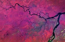
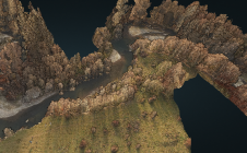
Representing 3D point cloud data
Read this guide to the main 3D data representation methods to understand the key differences and choose the best method for your specific applications. The 3D data jungle in today’s...

Read this guide to the main 3D data representation methods to understand the key differences and choose the best method for your specific applications. The 3D data jungle in today’s...
Satellogic has entered into an agreement with UP42 enabling direct access to Satellogic’s satellite tasking high-resolution multispectral and wide-area hyperspectral imagery via the UP42 API-based geospatial developer platform and marketplace....
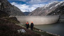
In early 2021, the Orthodrone team crowded itself and its equipment into a tiny Swiss gondola and made its way to one of two dams scheduled for water-side inspection –...
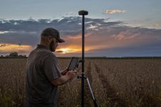
Juniper Systems has introduced the all-new Geode GNS3 GNSS receiver. It enables users to easily collect real-time GNSS data with sub-metre, sub-foot and decimetre accuracy options – without the huge price tag...
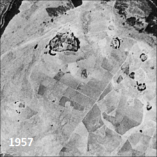
Only a small fraction of the information content in aerial films has ever been recorded on paper maps, most of which are inaccessible. The use of artificial intelligence (AI) to...
The monitoring of submerged deadwood and vegetation is gaining increased attention due to their socio-economic and ecological importance. Deadwood acts as an important underwater habitat but also poses a threat...
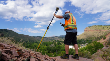
What is the current state of GNSS, from both a constellation, augmentation and receiver perspective? Spoiler alert: it is more of an evolution than a revolution! It is almost impossible...
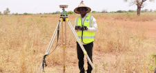
By applying Beidou technology, ComNav Technology has yielded fruitful results in African land mapping, continuous operating reference station (CORS) construction, precision agriculture and other fields over the past decade. Every...
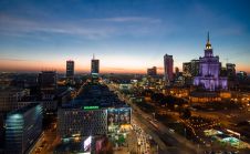
The FIG community is counting down until it can finally meet again in person, from 11-15 September 2022 in Warsaw, the beautiful and vibrant capital city of Poland. The FIG...
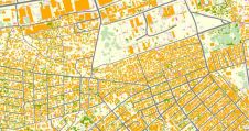
Addressing rapid urbanization in a sustainable way is being helped by new and faster mapping techniques. The affordability of these maps is increasing, giving better access to valuable insights for...
This site uses cookies. By continuing to use this website, you agree to our Cookies Policy. Agree