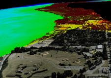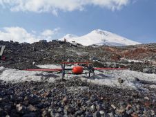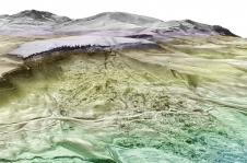
Using Airborne Lidar Technology to Map Greenland Arctic Summer Sea Ice
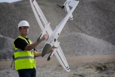
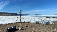
Researchers from the Bureau of Economic Geology have spent the summer in northwestern Greenland conducting research using an airborne Lidar system. The project – Airborne Lidar surveys to quantify Greenland...