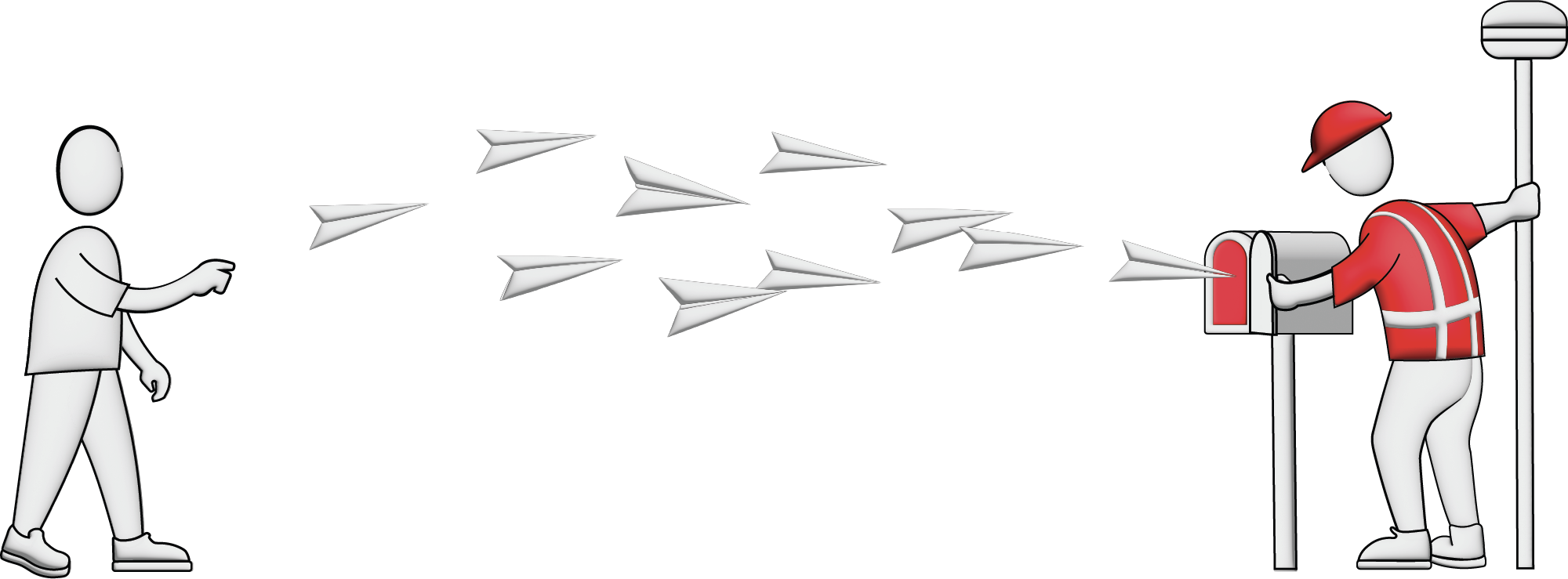
Elevating knowledge: read our in-depth features
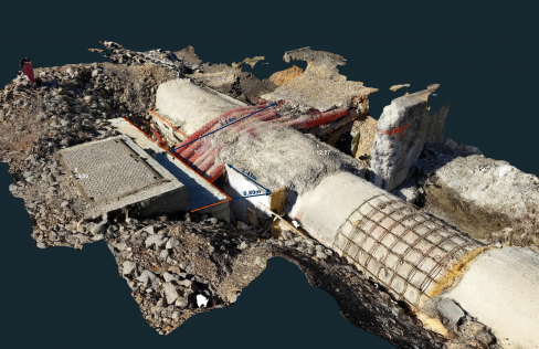
Read how SLAM technology was used to scan a former mine complex in Poland to ensure safety during a project to preserve the site's historical, educational and functional significance. Underground cul...
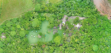
While it is possible to capture ancient Maya sites hidden beneath jungle canopy in remote locations using airborne Lidar, identifying them is still a time-consuming process. Typically, 3D point clouds...
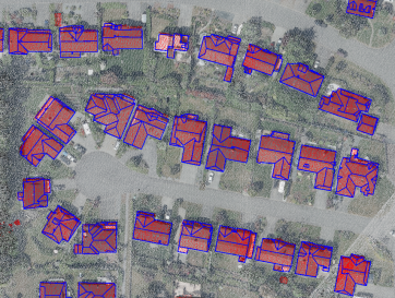
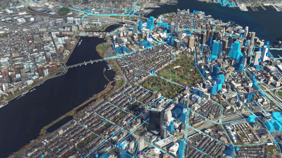
How can artificial intelligence and deep learning lead to a robust process for 3D city modelling? And what are some of the challenges? Automated classification and object detection in Lidar and imager...

Read this guide to the main 3D data representation methods to understand the key differences and choose the best method for your specific applications. The 3D data jungle in today’s computerized eco...
When it comes to monitoring the condition of roads, UAV technology can overcome many of the downsides associated with traditional methods, which can be time-consuming, labour-intensive and sometimes s...
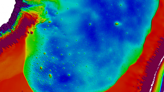
The monitoring of submerged deadwood and vegetation is gaining increased attention due to their socio-economic and ecological importance. Deadwood acts as an important underwater habitat but also pose...

Airbus has launched the Pléiades Neo Next programme to expand its very high-resolution Earth observation constellation. This new programme will introduce new satellite assets and capabilities, includ...

NV5 has recently completed the largest single oblique imagery collection in the USA for the Commonwealth of Kentucky. Spanning roughly 100,000 square kilometres and offering rich detail at three-inch ...

PlanetObserver has unveiled the PlanetSAT Global Basemap 2024, aiming to enhance geospatial data applications across various industries. The latest iteration of this renowned basemap provides users wi...

Diamond Aircraft has delivered the new DA62 MPP SurveyStar to RIEGL. Setting a new standard for high-capability, low-cost airborne survey missions, this robust and modern survey configuration variant ...

Fujitsu has presented a pioneering technology that harnesses Lidar and AI to capture high-resolution 3D data of organisms, coral reefs and man-made structures such as offshore wind turbines using auto...

The Australian government has committed to participating in Landsat Next, a groundbreaking satellite initiative spearheaded by NASA and the US Geological Survey. This programme aims to comprehensively...
Our weekly newsletter is an easy way to stay updated with our latest articles, news, and magazines. It's the easiest way to stay current with the industry.
Subscribe to our newsletter(s)Remote sensing is a fascinating field that revolves around the acquisition of Earth-related information without direct physical contact. It typically yields either point cloud data or imagery, both of which are subsequently processed within the realm of geographical information systems, playing a pivotal role in the field of cartography.
One of the defining characteristics of remote sensing lies in the differentiation based on the platform and sensor employed. The platforms used for remote sensing can span a wide spectrum, encompassing everything from orbiting satellites to high-flying aircraft, nimble drones, ground-based vehicles like cars, and even seafaring ships. Meanwhile, from a sensor perspective, remote sensing is an expansive domain that includes techniques such as photogrammetry, lidar, and echosounding, each offering unique insights into our planet.
It's worth noting that the transformation of remotely sensed data into comprehensible and valuable products often necessitates a process known as ground truthing, which helps to validate and refine the collected information. This multifaceted field of remote sensing continues to evolve, unlocking new ways to observe and understand our world from a distance.
This site uses cookies. By continuing to use this website, you agree to our Cookies Policy. Agree