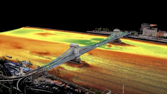
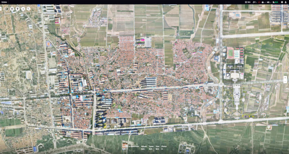
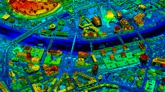
Aerial Mapping & Earth Observation Weeks

28 March until 29 April 2022

During the Aerial Mapping & Earth Observation Theme Weeks, we will take a detailed look at the latest aerial mapping solutions and processes, along with the ever-expanding range of products and services derived from such systems. We will also climb to greater heights as we expand our scope to mapping the Earth using satellites, including SAR imagery, space-borne Lidar and optical-range Earth observation data.

Theme Week Partners
Lidar

Enabling UAV-Lidar to Fly Higher

Innovations in Lidar technology continue to change the way we see our world – literally. There’s no denying that the Lidar sector is growing at an exponential rate. Research by Grand View Research...

Read more