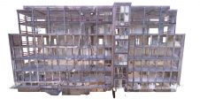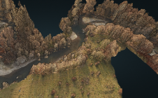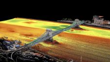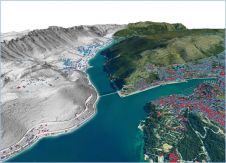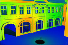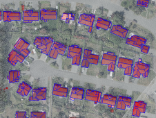
Reconstructing 3D buildings using deep learning
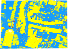
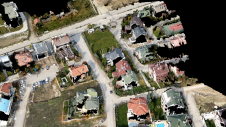
How can artificial intelligence and deep learning lead to a robust process for 3D city modelling? And what are some of the challenges? Automated classification and object detection in Lidar and imager...