About us
Contact
Advertise
Join our newsletter
Product Showcase
Browse by topic
Land surveying
Cartography / GIS
Remote sensing
Positioning
Urban planning
Construction & Engineering
Lidar
Articles
News
Case studies
Members
Events
Videos
Magazine
Features
land administration
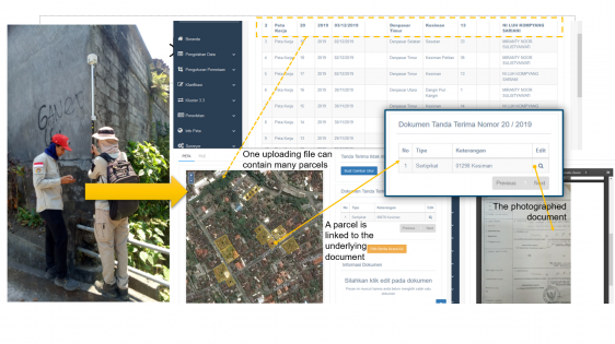
Mobile app to accelerate land administration in Indonesia
October 14, 2021
3D modelling
Digital models for planning and disaster management
October 11, 2021
Lidar
Smart Cities Benefit from Infrastructure for Autonomous Vehicles
September 30, 2021
Processing
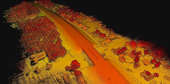
3D point cloud aerotriangulation for smart city reconstruction
September 24, 2021
urban planning
SDG 11 as a ‘Glocal’ Framework
September 23, 2021
point cloud
Visualizing point clouds in game engines
September 9, 2021
terrestrial laser scanning
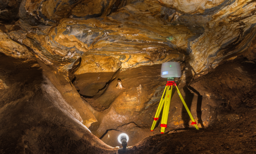
High-resolution topography of a World Heritage cave
August 26, 2021
UAV-Lidar
Mapping Radiation in Chernobyl
August 24, 2021
aerial mapping
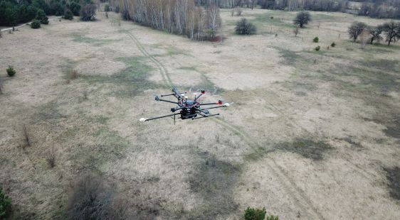
Large-scale UAV-Lidar Survey in the Tropics
August 18, 2021
Lidar
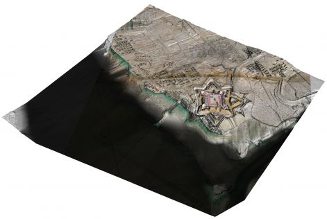
The use of airborne Lidar to visualize history in 3D
August 5, 2021
uav mapping
The challenges of surveying the Faroe Islands
August 5, 2021
SLAM
Handheld Mapping of One of Europe’s Largest Caves
July 14, 2021
UAV
The rise in UAV inspections for civil infrastructure
June 24, 2021
point clouds
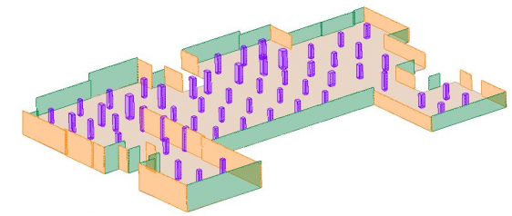
Automatic segmentation of point clouds in architecture
May 27, 2021
←
Prev
5
6
7
8
9
Next
→
Browse by topic
Land surveying
Cartography / GIS
Remote sensing
Positioning
Urban planning
Construction & Engineering
Lidar
Articles
News
Case studies
Members
Events
Videos
Magazine
This site uses cookies. By continuing to use this website, you agree to our
Cookies Policy
.
Agree